Aug. 10
DAY 13 Cont.
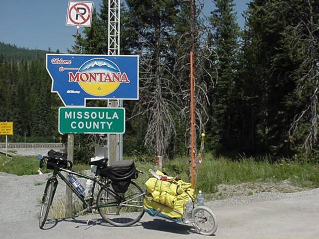
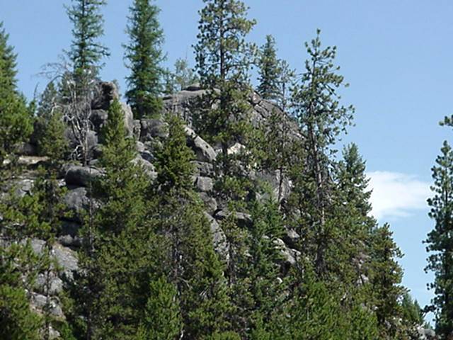
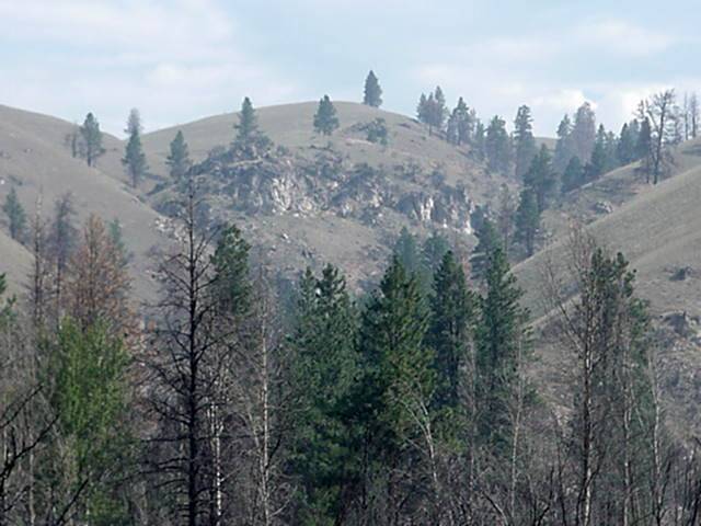
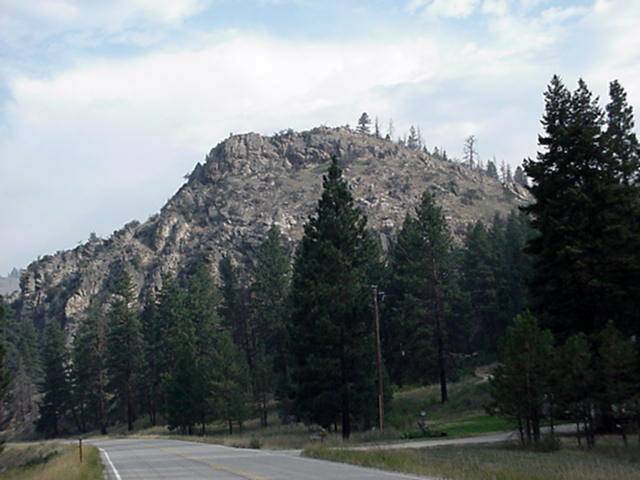
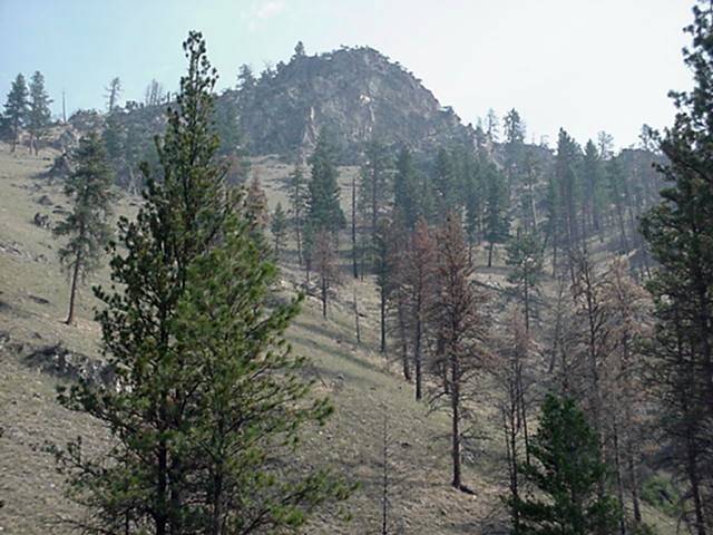
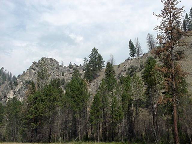
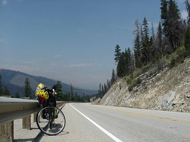
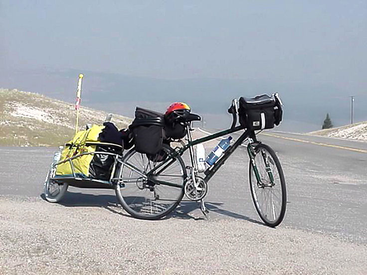
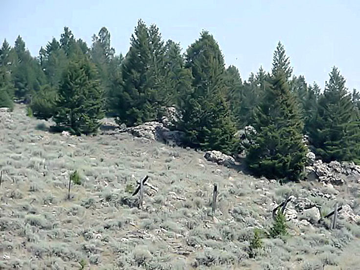
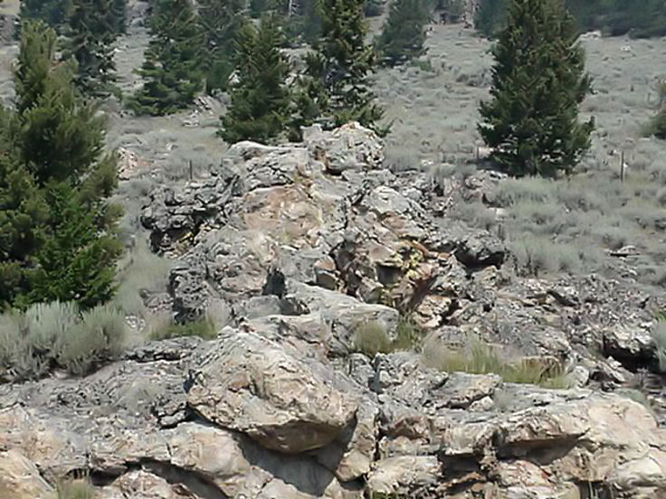
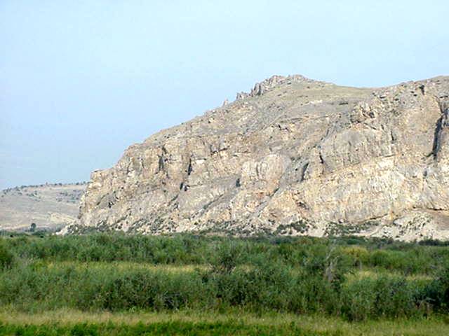
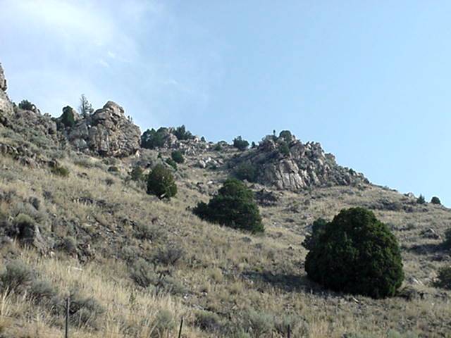
Crossing the Border at Lolo Pass you have a steep downhill for 5 miles and then a steady down all the way to the town of Lolo. There are a couple national Forest Campgrounds along the way. Lolo Hot Springs is at mile marker 7,has services, there is a private run RV park around mile post 28 and a store at mile post 29, the town o fLolo is at 32 and has all services.As you start down from the pass it look a lot like Idaho but befor long you notice a change as the valley broadens and the rock out crops show up along with meadows,we're not in Idaho any more.
Aug 11
DAY 14
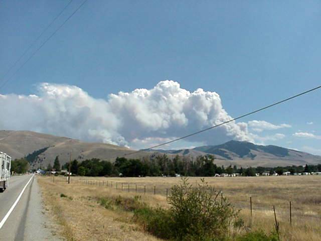
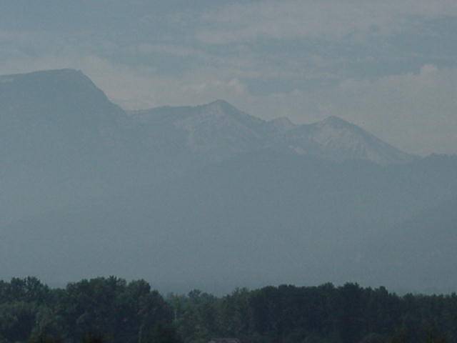
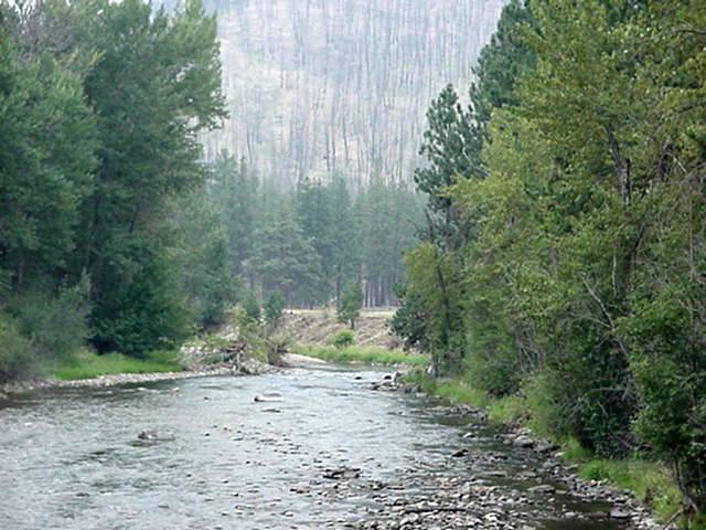
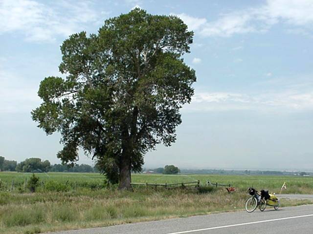
Between Lolo and Darby there are 4 towns with some services,Florence at 9 miles has food, Stevensville at 17 miles has all sevices,Victor at 24 miles has food, and Hamilton at 35 miles has all services and a bike shop.There is also a campground at around 46 miles boasts a store and may have showers.Darby has all services. Heading North on 93 from Lolo there is a hike/bike paved trail to Florence,beats riding with all the traffic.The smoke and haze this morning obscures the Bitterroot Mountains.The ride from Lolo to Hamilton is flat and a large volume of trafficand many commercial type businesses along the road. Leaving Hamilton is a short 2 mile paved bike path.Once out of Hamilton the valley turns to more pasture land, which makes the scenery more pleasing to the eye.Unfortunatly for me the many fires have laid a smokey haze around The Bitterroots.There were only 2 very small hills in the 55 miles which made this a very easy day for a tiring dog.Tomorrow are 2 passes to cross so the dog has gone to a local dog house in Darby to rest up for the up.
Aug 12
DAY 15
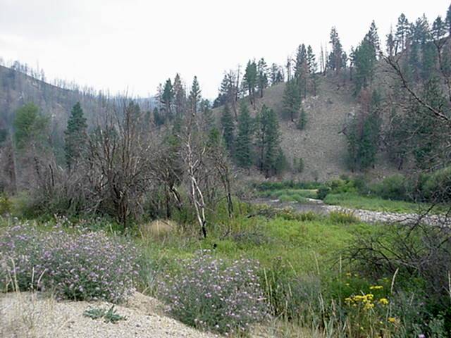
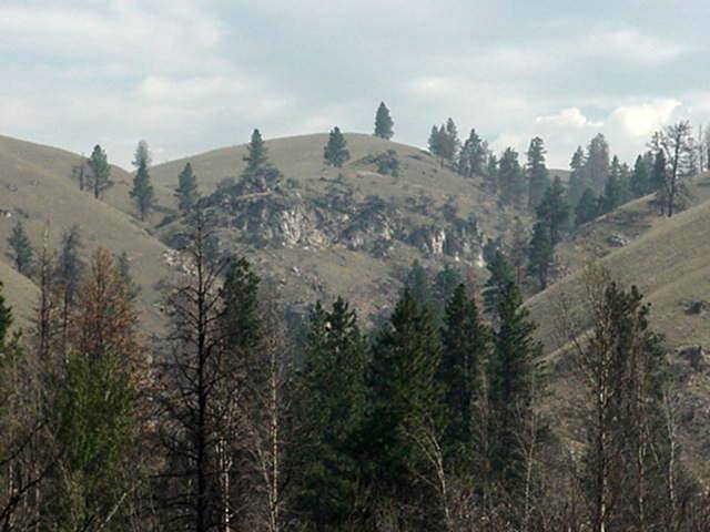
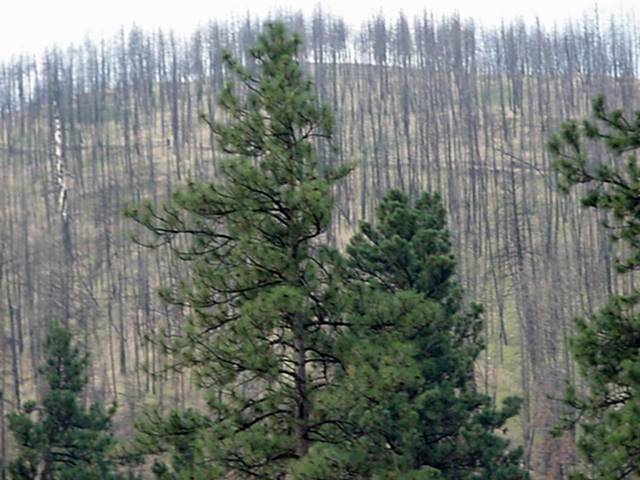
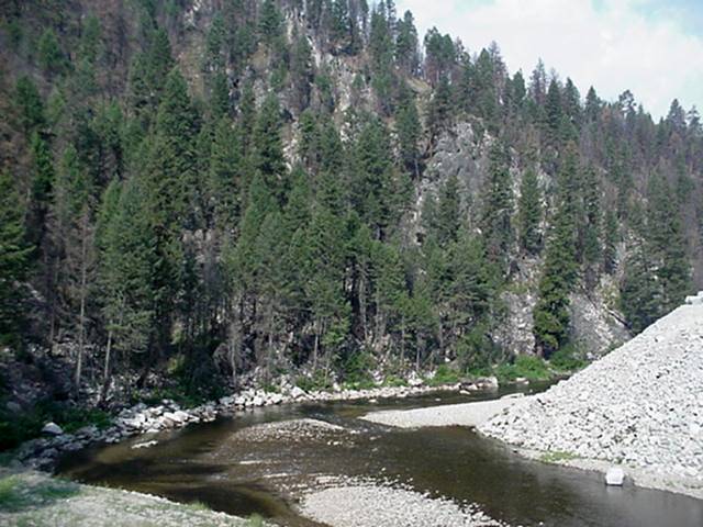
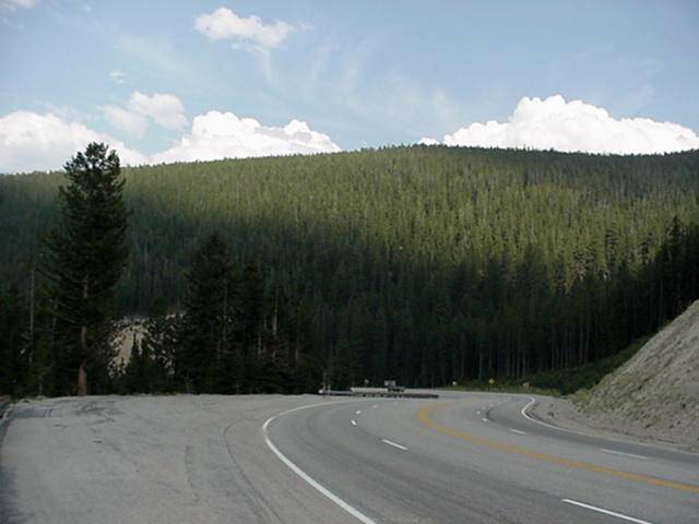
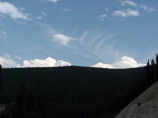
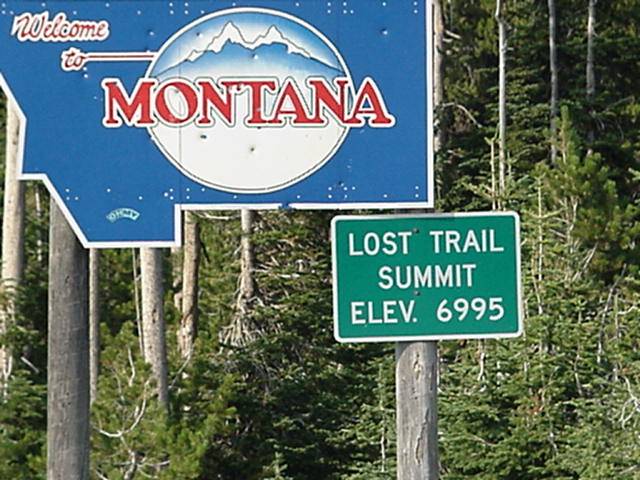
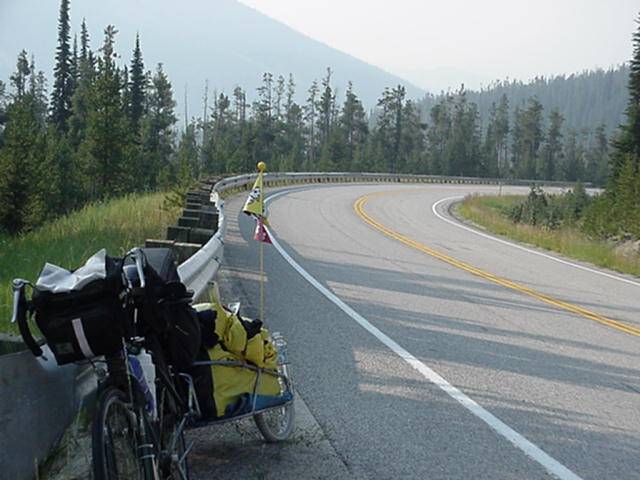
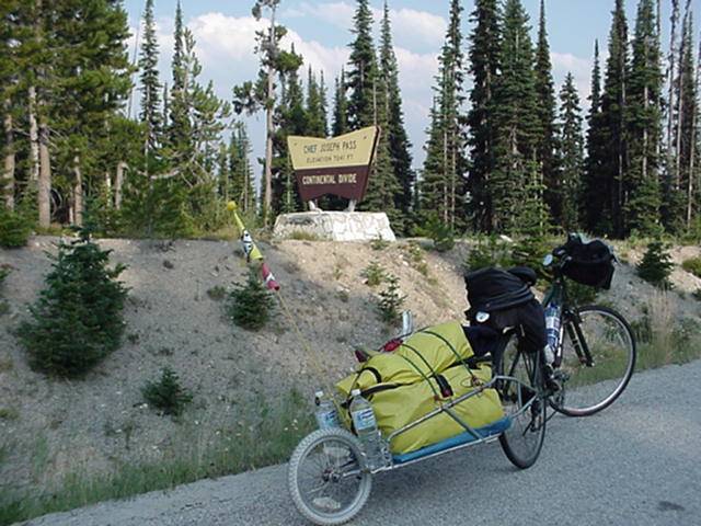
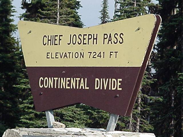
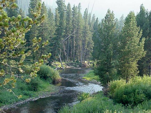
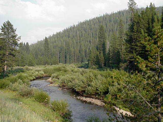
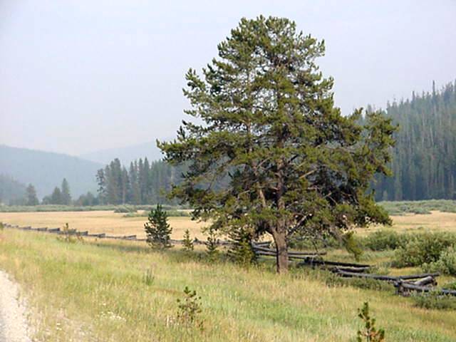
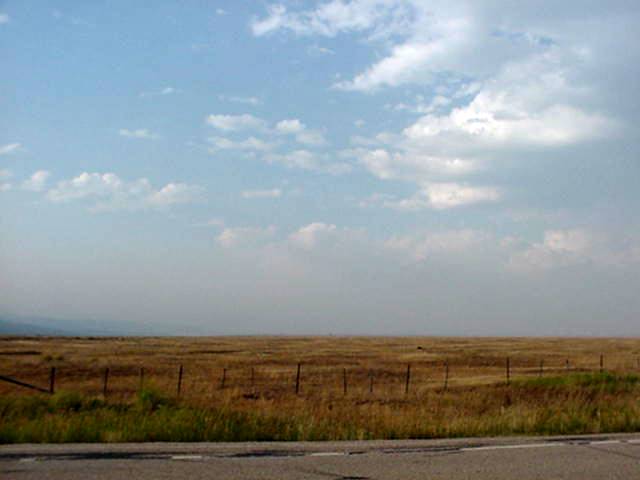
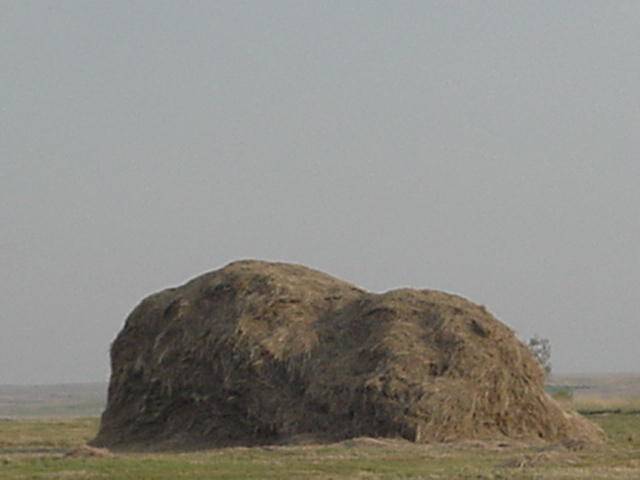
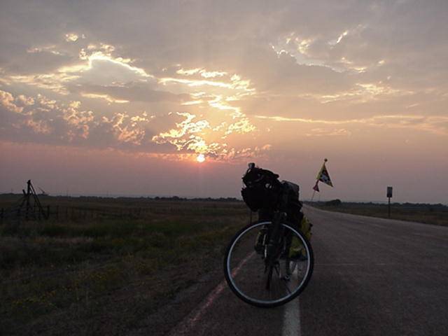
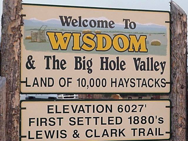
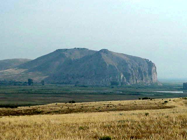
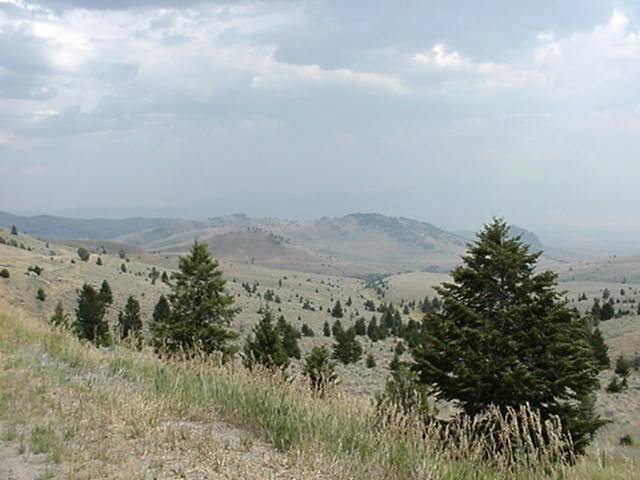
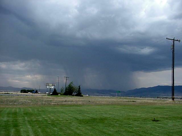
Today was slated for a short day mileage wise from Darby to the top of Chief Joseph Pass, Yeah right. As you leave Darby the road is fairly flat but soon turns to a steady easy grade. At 7 miles the town of Conner is about Ľ mile of South 93 and the sign says gas and food. Next at around 15 miles from Darby is a National Forest Campground (has water) 4 more miles is Sula camping, food, and possibly showers. Riding from Darby to Sula is a very easy and changing ride. There is a pretty good shoulder to Conner as you head up the Bitterroot Valley, which to this point has been very wide. At Conner you lose the shoulder and the valley starts to narrow a bit, after the National Forest Campground the shoulder is back and you are once again enveloped by mountains. As I had planned to camp at around 32 miles today I toke my time and enjoyed the scenery (still smoky) up to Sula where I stopped for lunch and a rest before the climb up Lost Trail Pass. Leaving the Sula KOA the climb starts to get a little steeper for the next 5 miles where you come to mile marker 7 of route 93 and THE REAL DEAL begins. I left mile marker 7 at a little after noon and 7 miles and 6 hours later I was back in IDAHO! There is a rest area at the top Lost Trail Pass, elevation 6995, with cold water, AHHHH! Having another short 2 mile climb up Montana route 43 to Chief Joseph Pass and the Continental Divide, elevation 7241 and my destination for the day, I lounged around a bit. After about a ˝ hour I felt rested enough to tackle the next fairly easy climb to the top. No problem getting up Chief Joseph and then, Monkey Wrenched, campground is closed, but not to worry another is just down the mountain about 9 miles. A quick 4 mile steep decent brings you into a very pretty valley. The road continues down hill and low and behold the campground is also closed because of the fire conditions. What's a dog to do except go in search of Wisdom which is a mere 18 more miles down the road. Fortunately for this tired dog the road is flat and down with the exception of one small hill at Big Hole National Battlefield. Once up that hill the scenery changes once again to wide open plains as far as one can see, and off in the distance this dog sees a storm brewing. Beating feet to get to Wisdom before dark I catch the storm and hold back for just awhile to let it pass by. I am one lucky dog got only a few drops. Wisdom has all services, but alas no room at the inn for a tired dog so I grab a couple cold drinks and head back to the edge of town and the Legion Park campground (has water & pit toilet), set up my dog house and start supper just as the sun sets behind the Bitterroot Mnts. And that ends another day on the road.
Aug 13
DAY 16
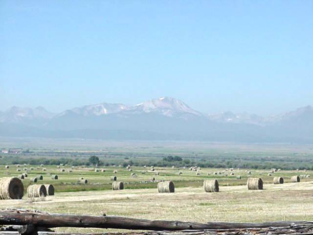
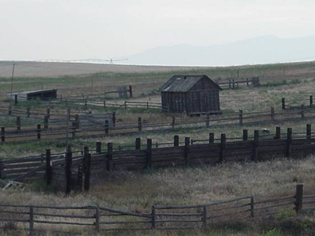
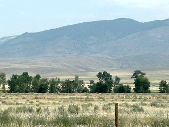
Had I gotten a room last night, I had planned to stay over for a rest day, but will take it easy to the town of Jackson (services), 18 miles away on route 278 and take a rest day there and lick my wounds from the climb up Lost Trail. The road from Wisdom to Jackson is flat to gentle rolling hills up the Big Hole Valley. Hay fields and cattle and mountains in the distance very little traffic and tranquil. Still a smoky haze on the mountains.
Aug 14
DAY 17
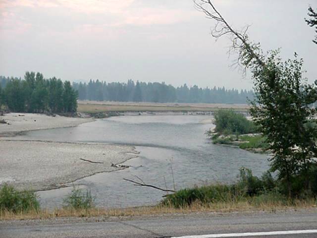
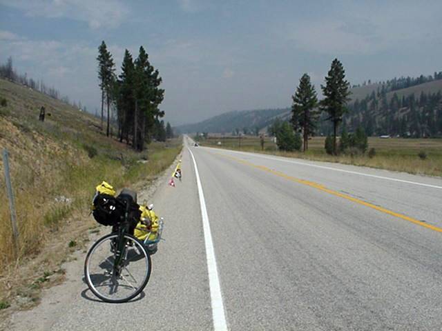
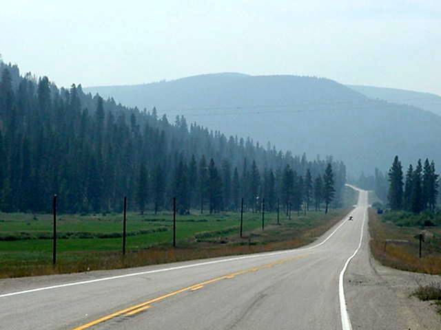
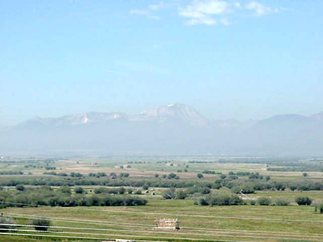
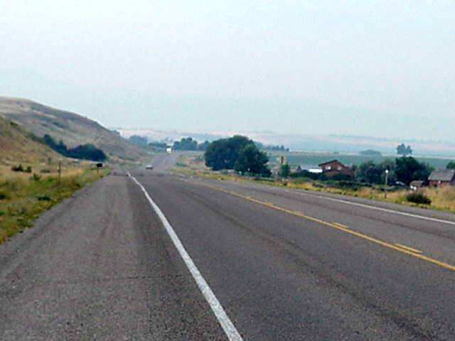
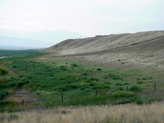
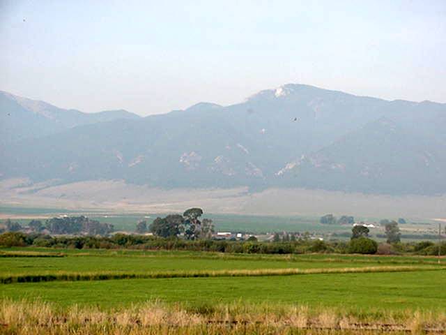
Continuing on Rt.278 to Dillon the road is flat to rolling small hills for 8 1/2 miles. As you come and around a small bend in the road you say goodbye to the Big Hole Valley and Hello to the Big Hole Pass, 2 1/2 miles of steep hill. the top is at 7360 feet,can The Hitdog get any higher? After a 16 mile down to mostly flat ride you come to the bottem of Badger Pass, 2 miles of moderate climbing and then fairly steep 3/4 miles to the top. From the top to Dillon is down and flat for 17 miles.Rt. 278 ends at I 15 go under overpass to frontage road and left into town,and pick up 41 north. There is a campground about 3 miles out of town by I-15, Dillon has all services and may have a bike shop. There is nothing but cows between Jackson and Dillon and if there was no smoke would have been a much prettier ride once again. Most of the services are on the eastern side of Dillon there is one small motel on the western side about 3 blocks from downtown. The smoke is putting a real damper on the views and picture taking. Besides that this is a great trip should be in Yellowstone Sunday night if all goes as planned right now, but who knows, plans change.
Aug 15
DAY 18
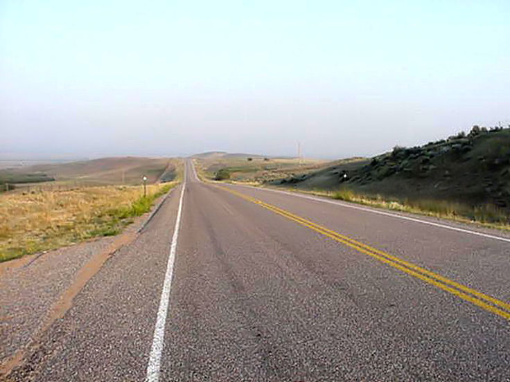
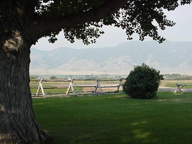
Today will be another short day, don't want to get to Yellowstone on a weekend, so will go to Sheridan today and Ennis or Cameron on Saturday and Yellowstone Sunday after the weekenders have left. The ride fron Dillon on 41 north to Twin Bridges is 28 miles of mostly flat with a couple rolling dips. Twin Bridges has services. From there you take an easy steadily rising Route 287, nine miles East to Sheridan (has services). Not much to say about todays ride, quick and easy up the Ruby Valley with smoke once again shrouding the mountains.
Aug 16
DAY 19
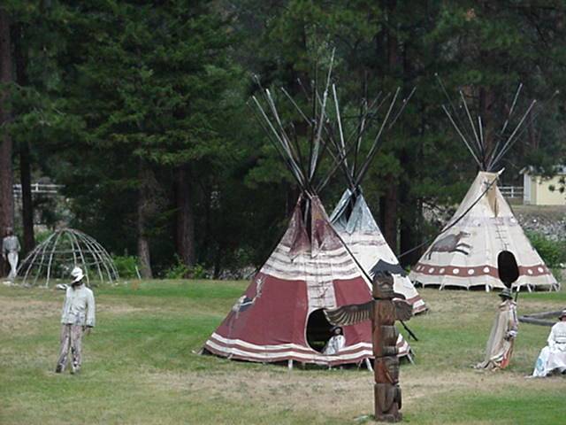
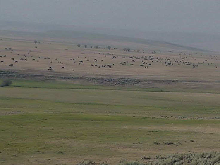
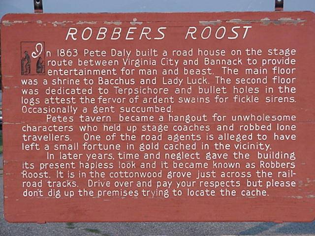
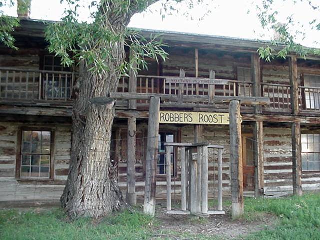
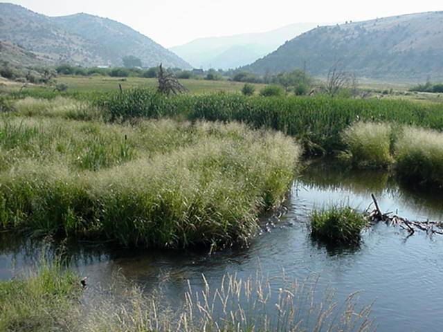
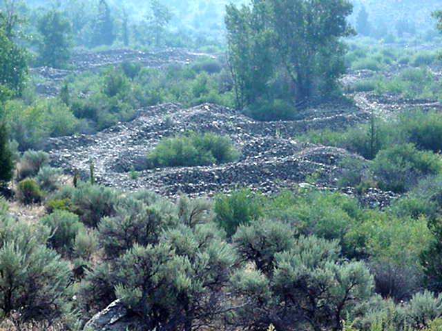
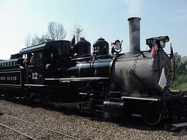
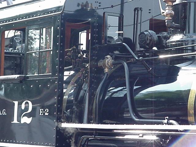
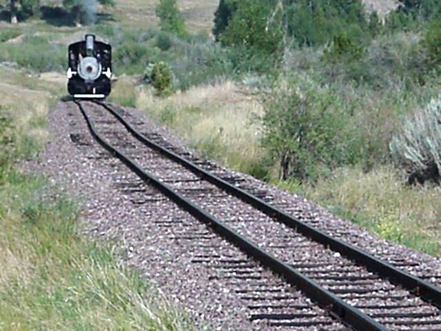
Today continued south on 287 to Ennis. Riding up the Ruby Valley 10 miles to Alder is an easy steady grade. Alder has all services. A KOA campground is about 1/4 mile out of town.Leaving Alder the grade increases just a bit but remains easy.About 1 mile from Alder you go up a short little hill and are back into the mountains, and riding up Alder Gulch. 7 miles later you come to the reconstucted old west tourist town of Nevada City. One mile futher and you enter Virginia City, which is a tourist stop with shop and all services. Leaving Virginia City you begin a steep 3 1/2 mile climb to the top of the unnamed pass that takes you to The Madison Valley.From the top of the pass it is a down hill ride all the way to Ennis,If it were not SMOKEY would be very beautiful as you head down the mountain to the valley with the Madison Range looming at the far side. All in all today was a very nice ride made it up the pass in a record 1 1/2 hours including breaks. Tomorrow head to Yellowstone and a long day of riding once again.
Aug 17
DAY 20
Today continued south on 287 to West Yellowstone .Had a few light showers but was fortunate to be near cover, so the Dog stayed dry !! Veiw photos below or continue on to
WYOMING