July 28
DAY 0
Today was my travel to the west day.Flew into Portland rented car to go pick up my bike and gear that was sent to a friends parents house in the Vancover, Washington area. Assembled bike and trailer loaded in car and arrived Astoria,Oregon around 7 PST. Rental place opens at 8 tomorrow so will begin the journey east sometime after that.
July 29
DAY 1
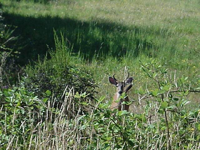
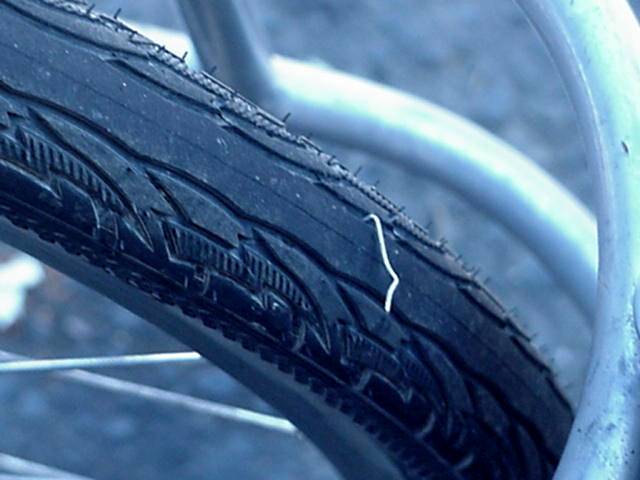
The start home.Had to wait around till 8 for Hertz to open and return car,finished that around 8:20.Back to motel and get everything together,bad start, had a small bungie to secure one water bottle ,it is among the missing.Had to dig into pack to get another.Bungied up and ready to start,couldn,t find a place to dip a wheel so just did a back drop from a bike trail in Astoria. Finnaly got started for real around 9.Route 30 east toward Portland.Decided last night after watching weather report of 100+ temps by late afternoon that this would be a short day.Leaving Astoria going up a slight grade at 20 mph,my thoughts of a grueling day of up and down large hills vanished,and then I woke up and noticed the cycleputer was malfunctioning.Around 6 miles into the ride I stopped for a break and recalabrated speed-o-meter seems to be working properly now.Route 30 is very busy but has good to great berms for the most part.The first 12 miles are fairly easy grades,which means I was able to pedal up them without using my granny gear.Stopped at gas station at Svensen for a break and a snack and to prepair for the upcoming ,SLOWER TRAFFIC KEEP RIGHT,hill.STKR's are bit steeper but I was still able to climb them with out granny.Leaving Svensen saw the first wild life of the ride,a young buck,doe and a couple fawns came right up on the road.While getting my camera out they took off was able to get a shot of the buck though. First Flat,hope this is not a sign, about 3 miles from Svensen picked up of all things a STAPLE,well at least it was easy to find and fix. Two more long climbs and you find what must be the first high spot on 30 worthy of a elevation sign,Clatsop Crest, nice down hill to Westport and a lunch break as it is now 1:30.Westport has services.10 mile of mostly flat valley riding to Clatskanie.The sun is beating down and the temp is in mid 90's the Dog is done for the day.
July 30
DAY 2
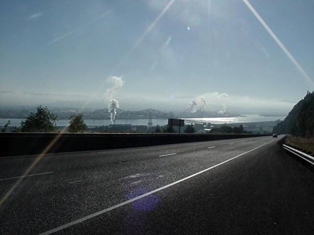
Coming out of Clatskanie the first thing you do is climb a 2.8 mile 6% HILL. Three breaks and 2 hours The Dog reaches the summit.Down a pretty good hill and then 7 miles of gentle rolling to flat capped off with a 1and1/2 mile 7% down hill to the town of Rainer(all services here). Leaving Rainer is 3 miles of rolling hills,that finally flatten into the town of St. Helens,Oregon (all services). 10 miles of mosty flat to Scappoose,it is 85 so I find a huge cold drink and some shade and rest up for 2 hours for my assault on Portland. Well Portland assaulted me! The Saint Johns Bridge which is 30 bypass is closed till Aug. 28th,the detour is 30 through Portland and on I-5/I-84.figured would find a place to stay on the way into town,wrong answer,30 goes through industrial area and then on interstate,much traffic!!!
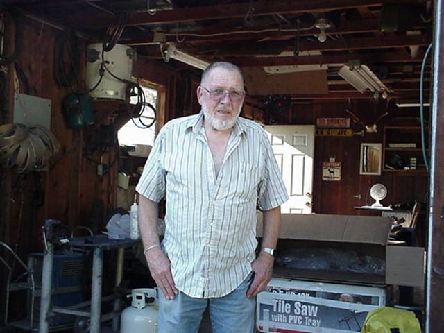
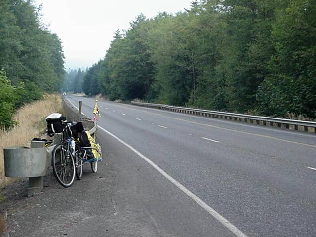
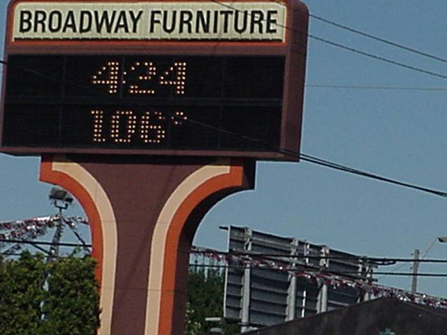
Nothing to do but stay on the detour,while taking a break in the shade of a bridge over the COLUMBIA and trying to figure out which way to go and how I would get there anyway a bridge patrol guy showed up to see if I was a jumper. After telling him to check back with me in a couple days got directions to get off interstate and over to Marine Drive.a couple miles of urban riding and better directions from the local police, arrive at Marine drive which is also route 30.There is nothing on Marine Drive but Marines.Nothing to do but head for Troutdale,which is 13 miles from where I picked up Marine drive.The Dog limped into Troutdale and motel 6 for a total of 81.5 miles for this hot day(see photo below).May have to lick my wounds tommow with a short day,stay tuned.
July 31
DAY 3
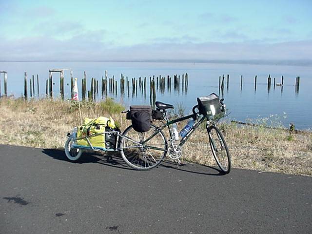
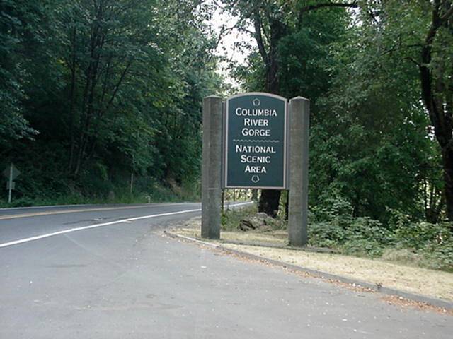
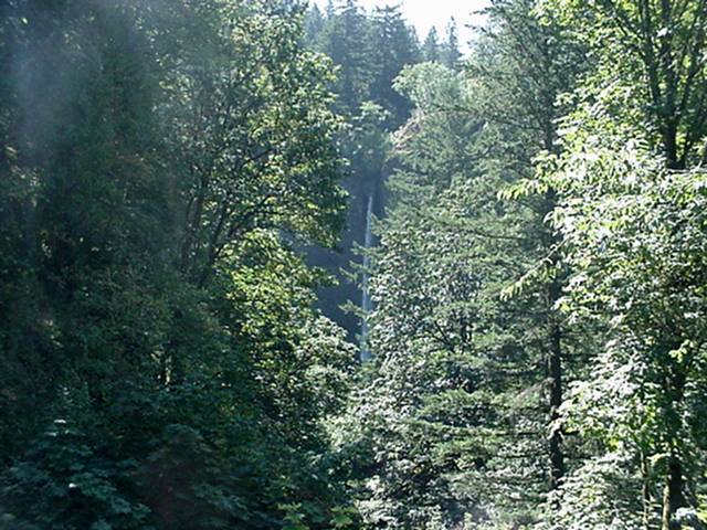
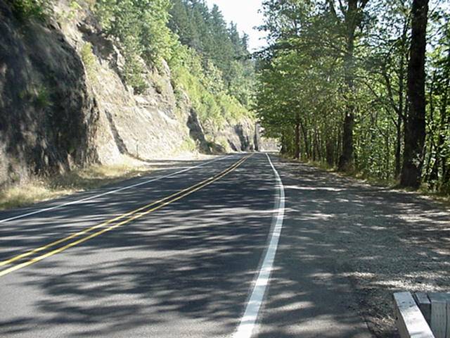
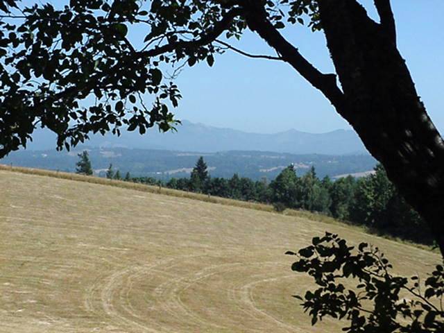
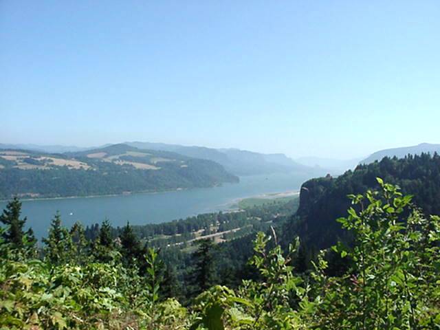
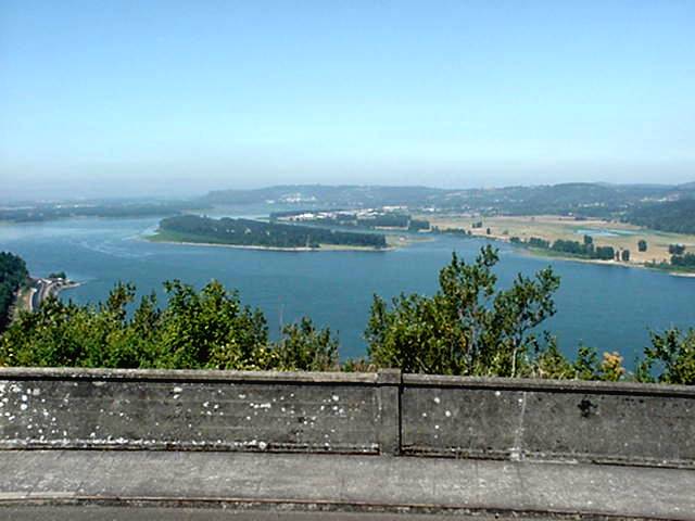
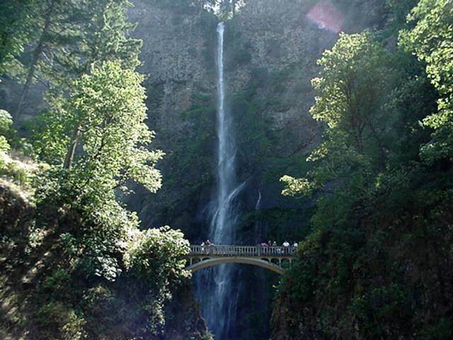
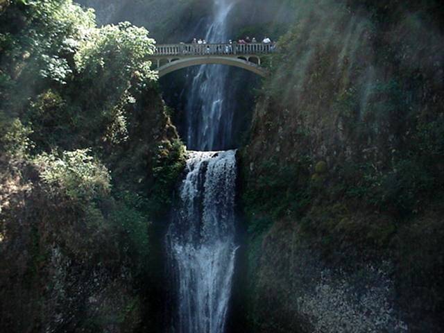
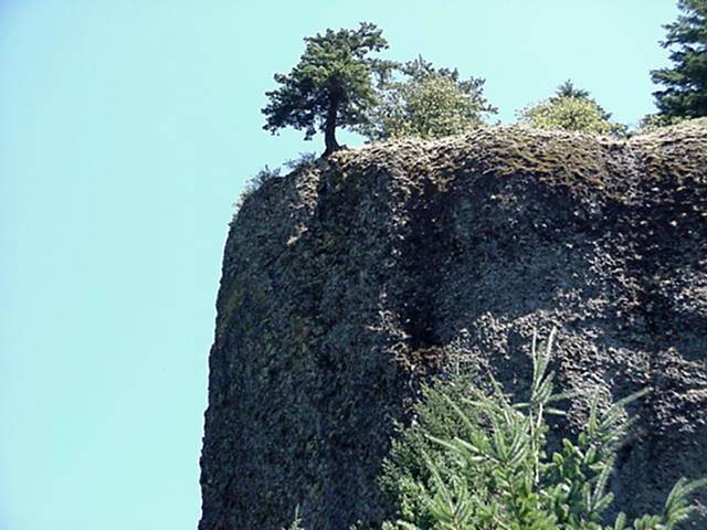
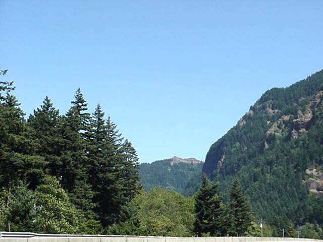
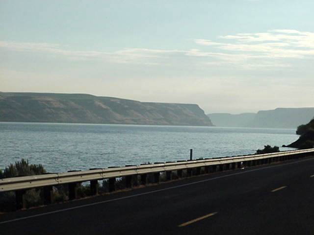
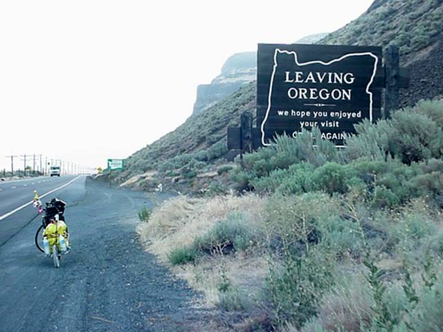
The Dogs' wounds where still evident this morning,slept till 9 and got a late start.Doesn't matter for this will be a short day. Leaving Troutdale you enter The Columbia River Gorge Scenic Road where you begin a 6 mile climb out of the Gorge.The town of Springdale is located about 4 miles up and has a small Market you then continue up to the town of Corbrett and a overlook of the Columbia River Valley.The Ride down the other side is fairly steep and the road is windy and has some small holes.The bottom is flat to slight uphills with numerous scenic pulloffs.Montnomah Falls has food and drink.3 miles from there you get on I-84 E and then 8 miles to Cascade Locks and The Bridge of The Gods to the State of Washington.Cascade locks has all services. You can veiw photos below or continue on to
WASHINGTON