Aug 18,19,20
DAY 21,22,and 23
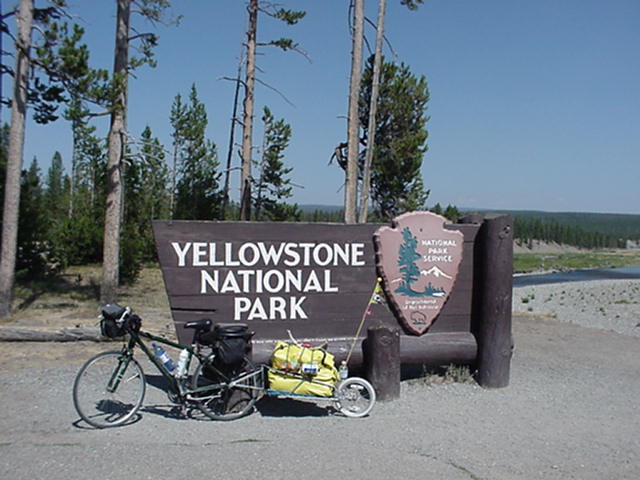
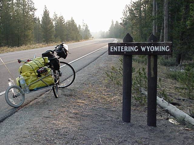
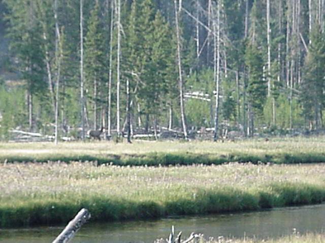
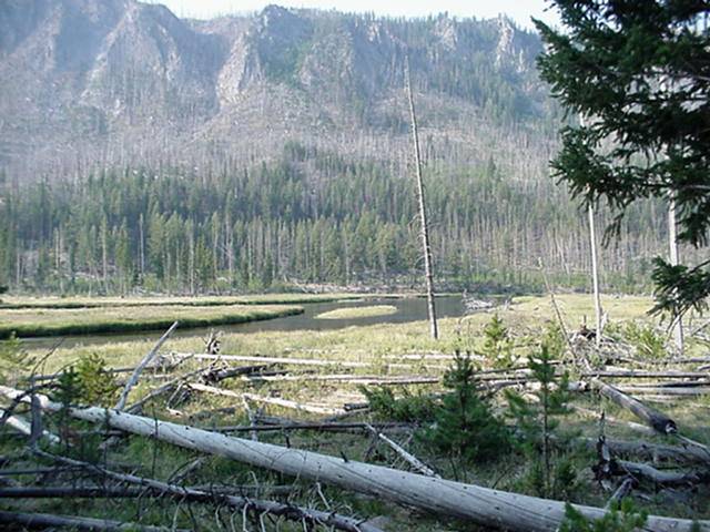
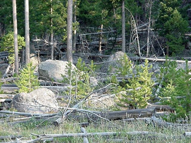
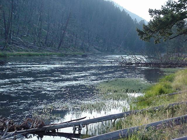
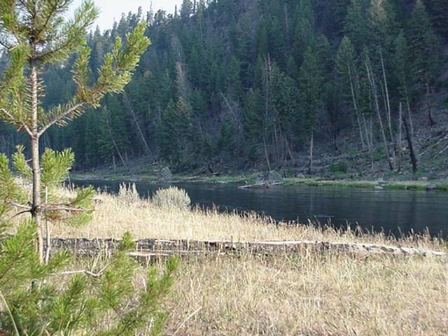
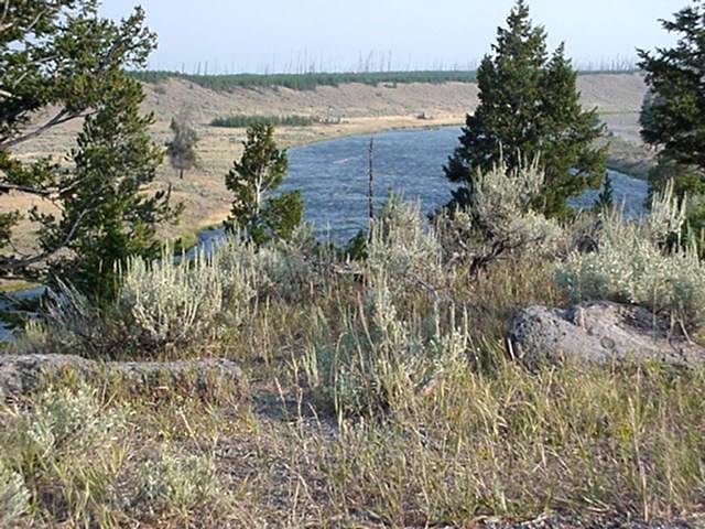
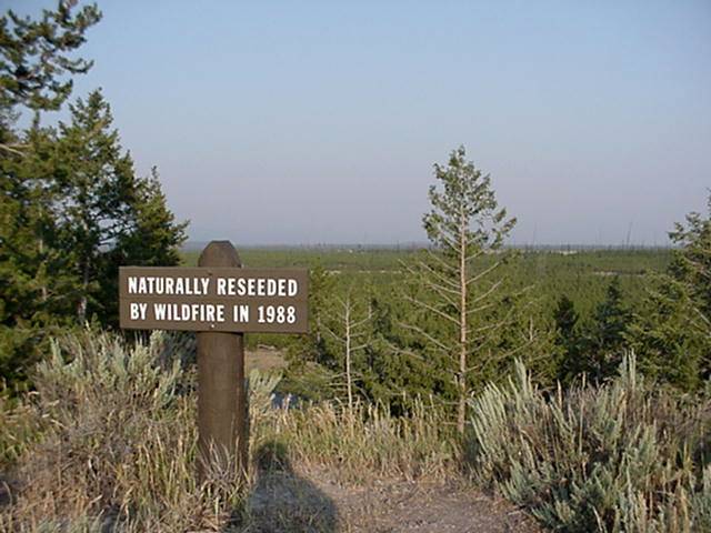
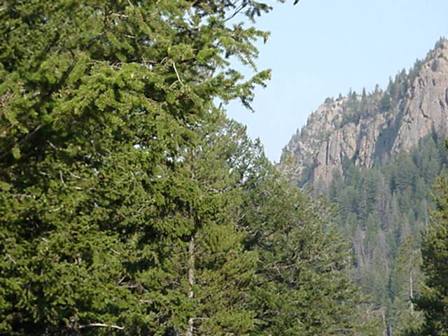
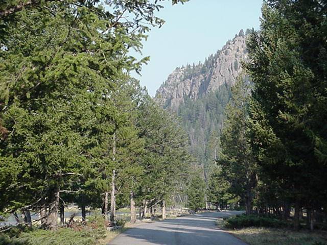
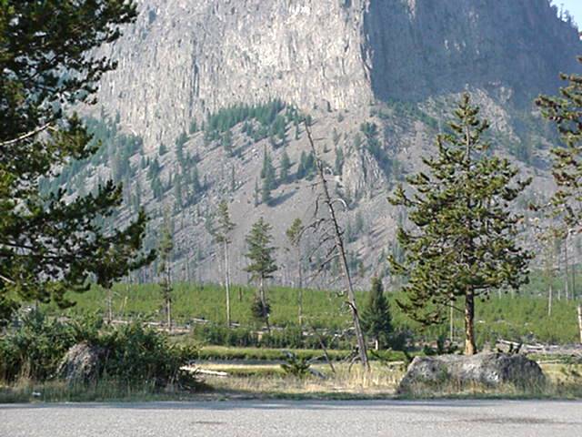
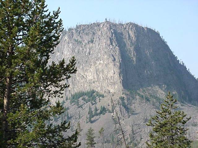
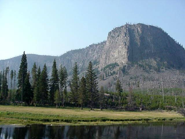
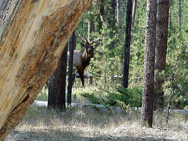
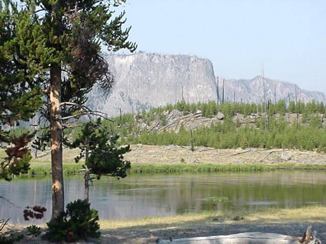
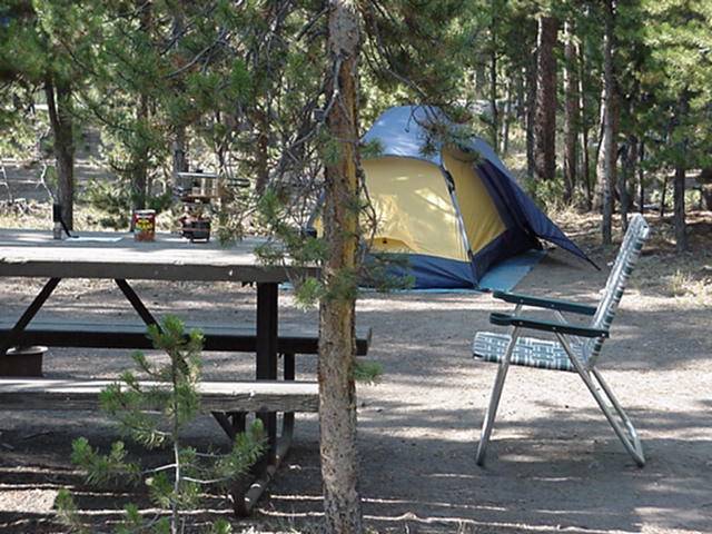
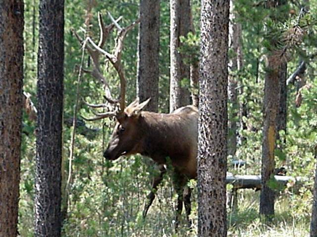
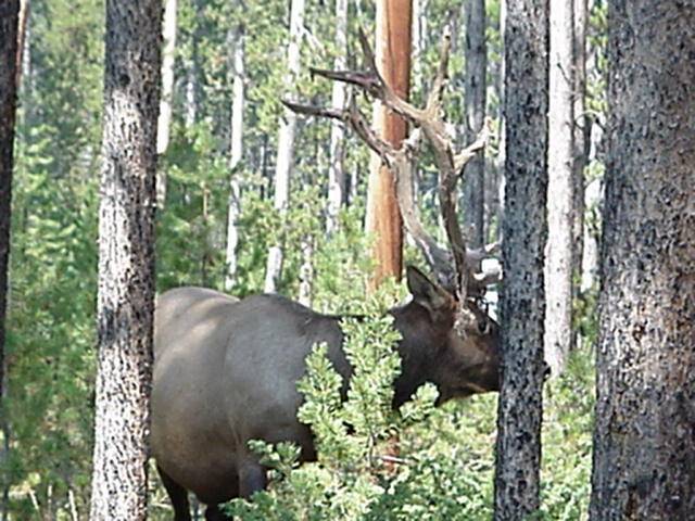
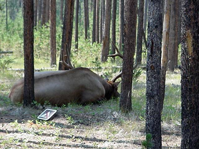
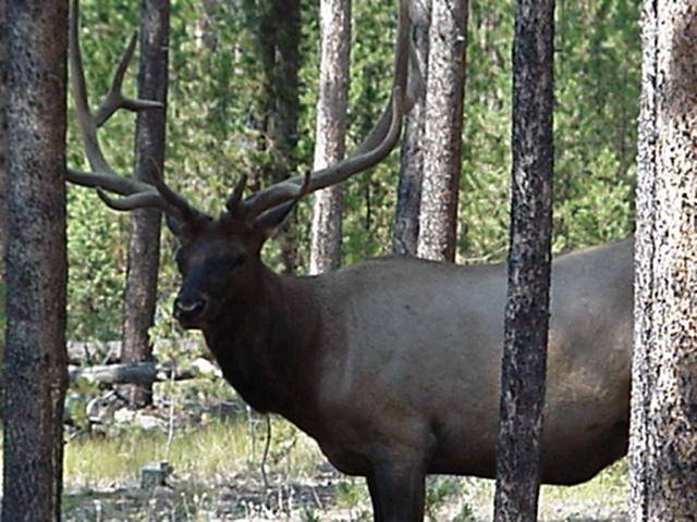
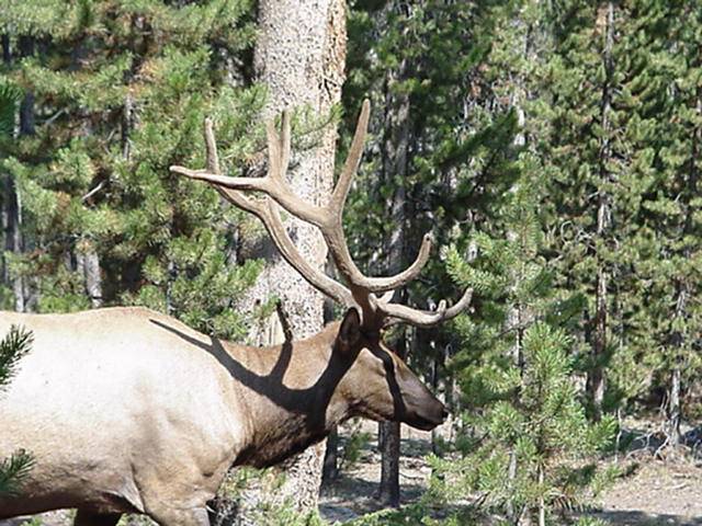
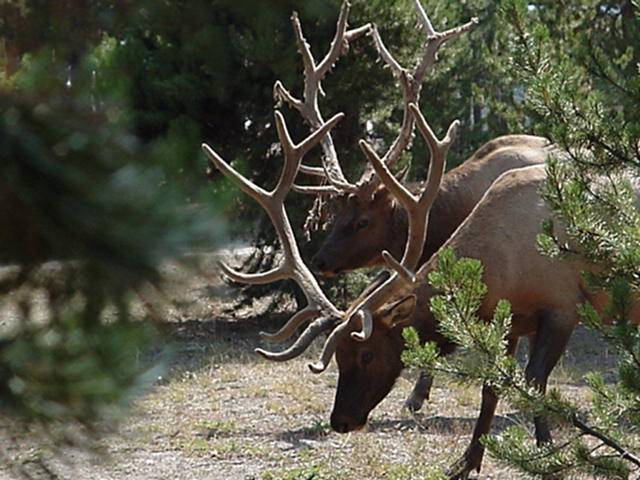
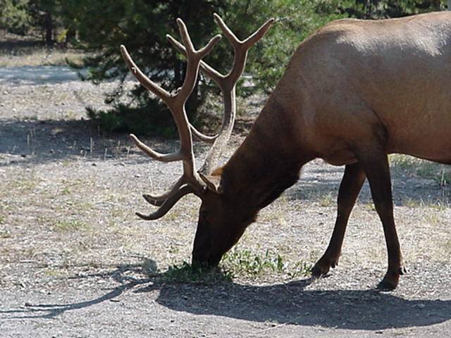
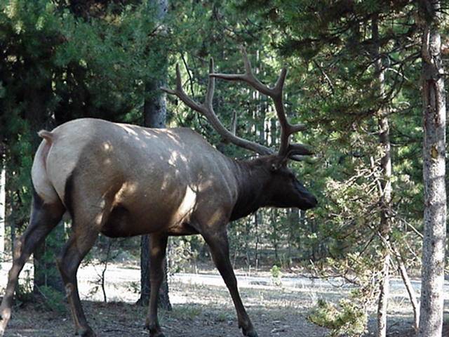
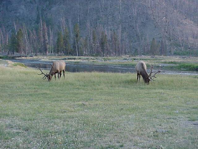
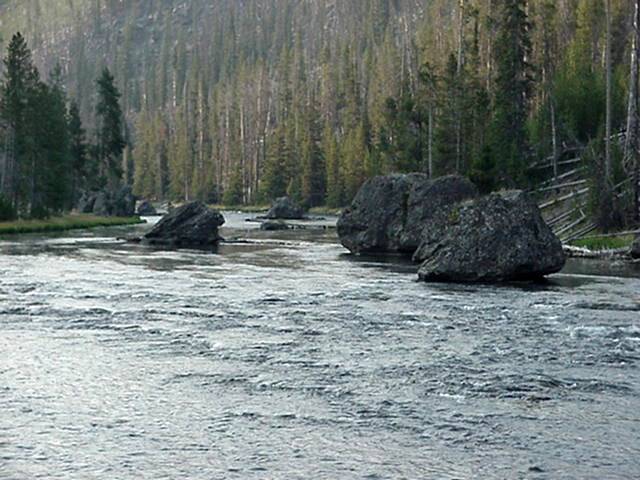
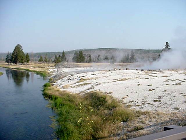
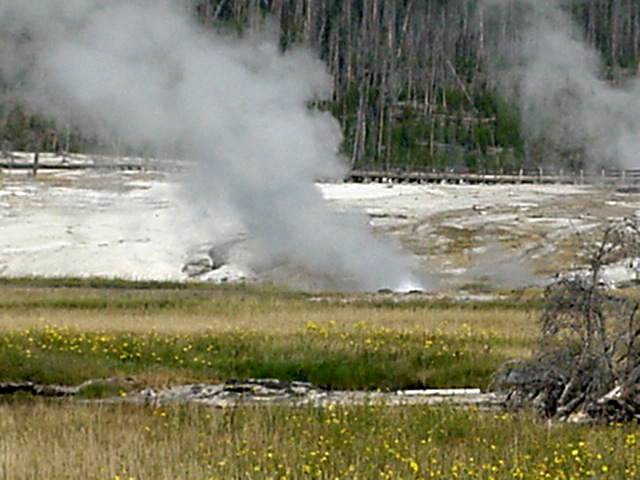
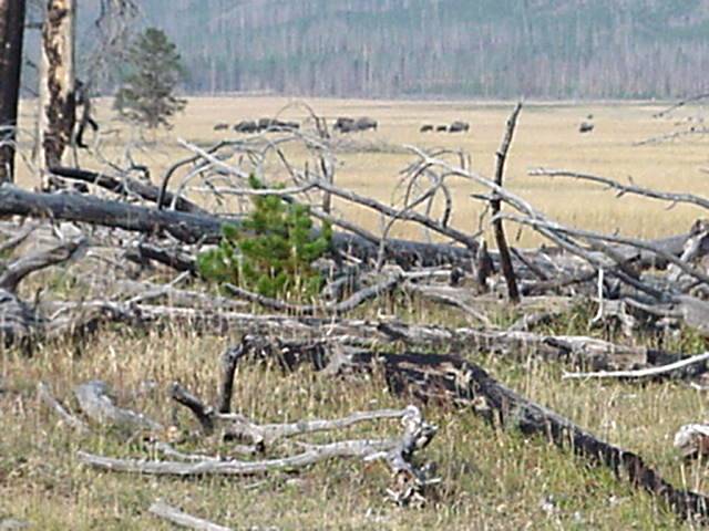
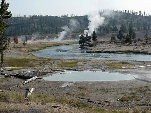
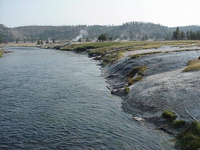
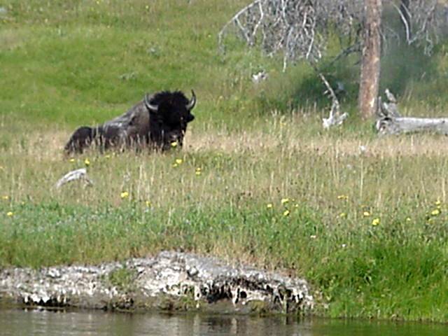
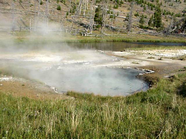
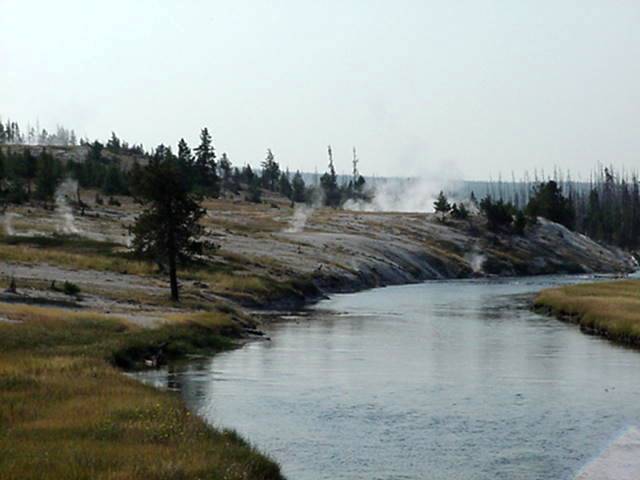
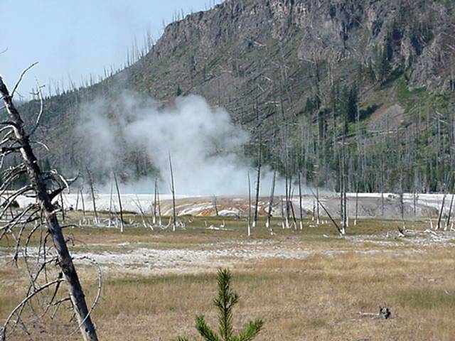
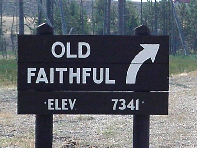
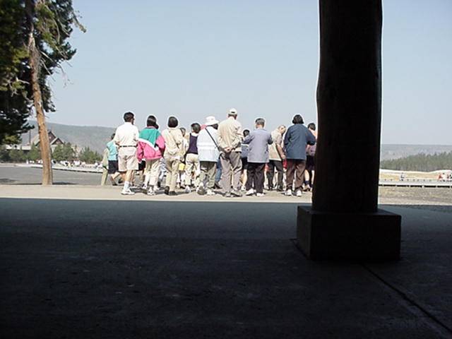
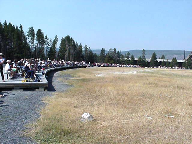
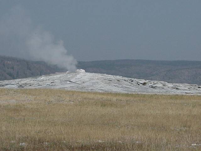
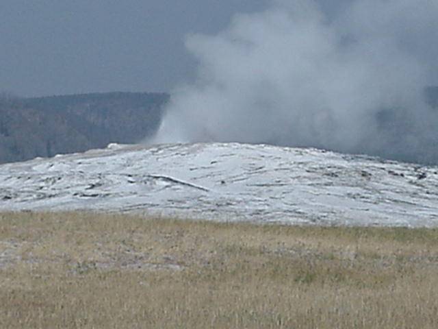
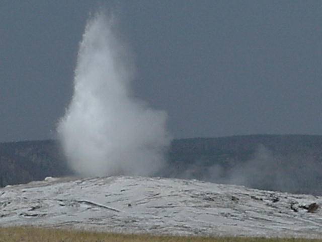
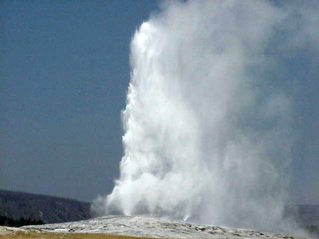
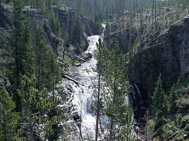
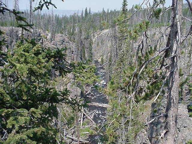
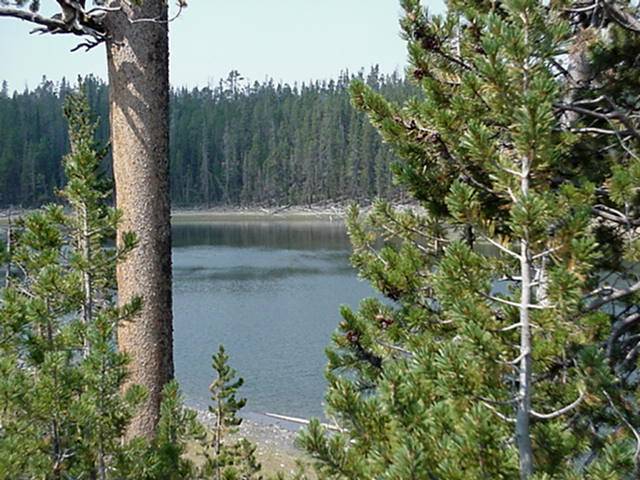
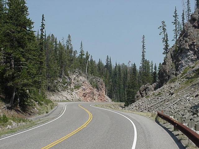
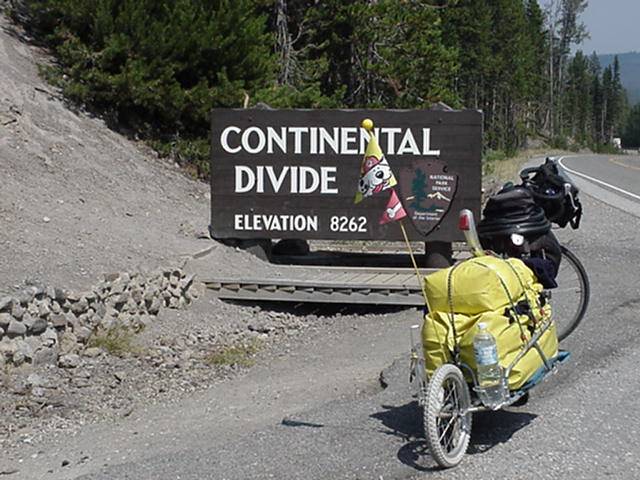
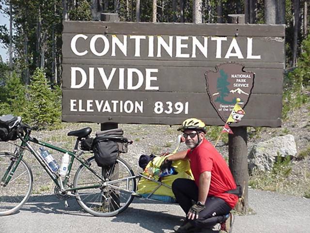
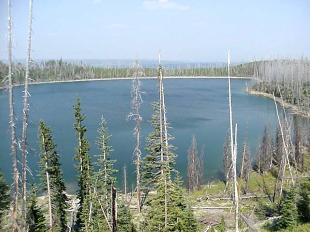
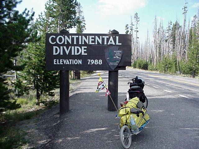
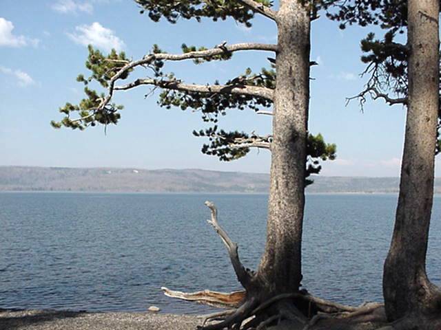
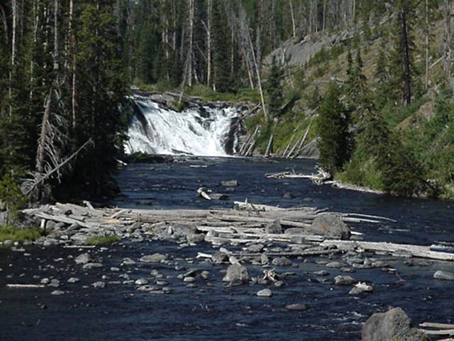
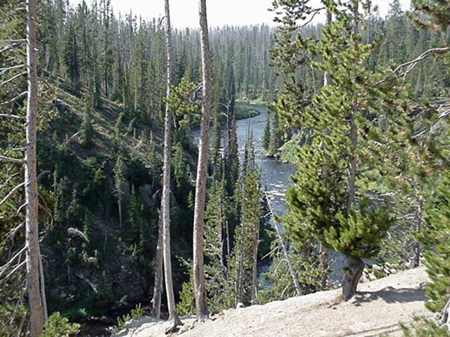
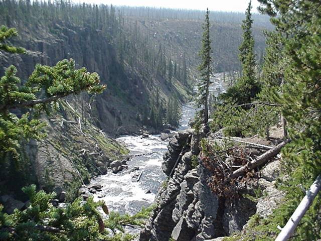
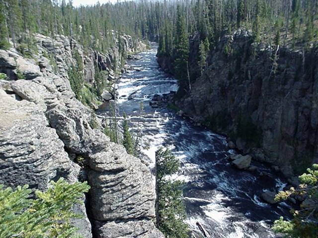
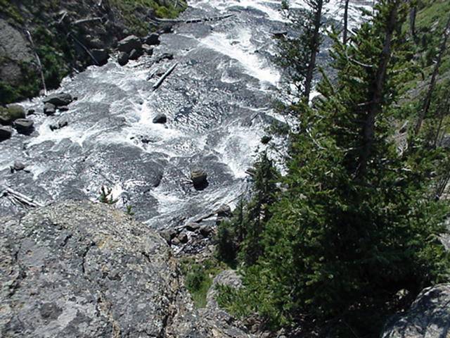
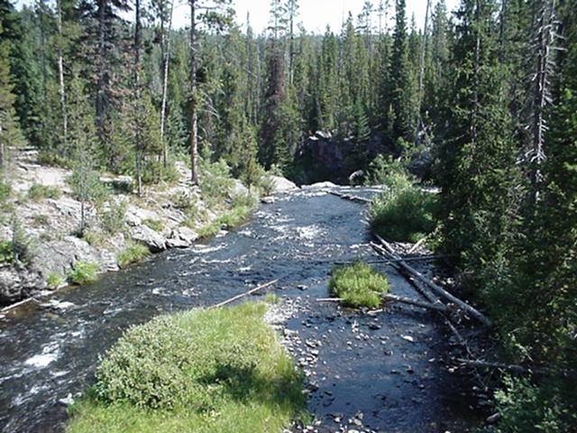
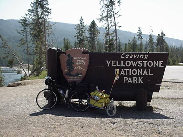
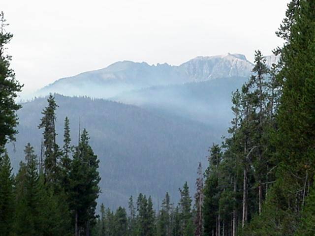
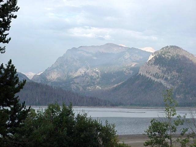
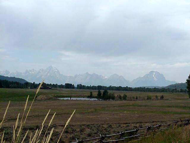
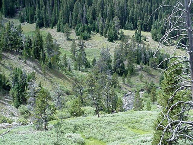
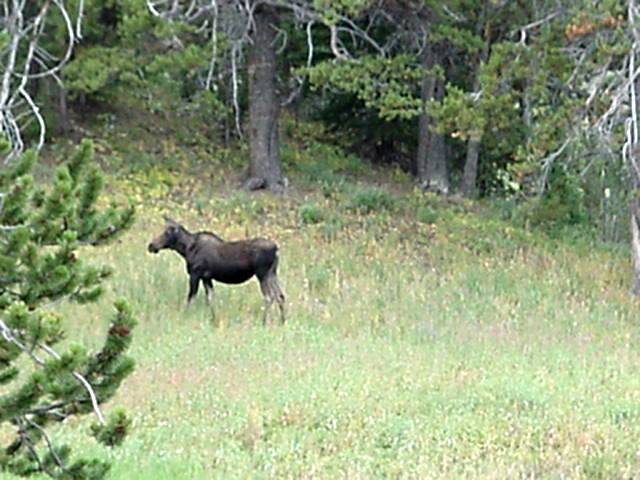
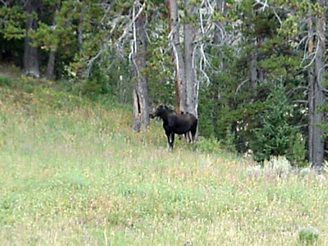
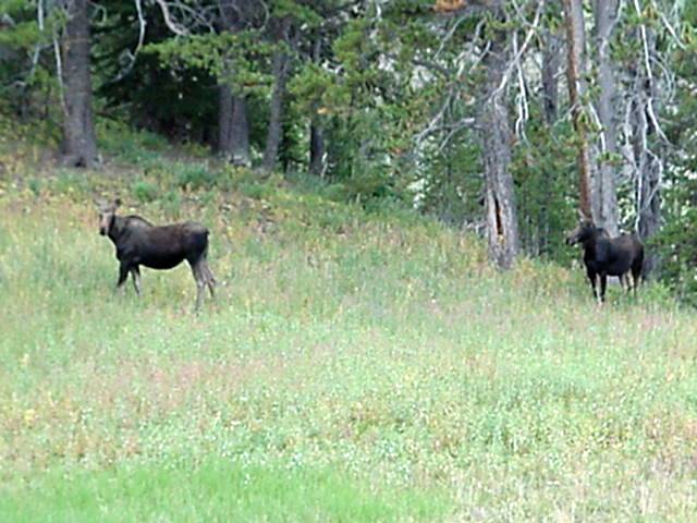
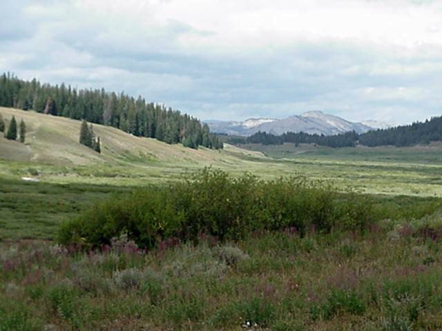
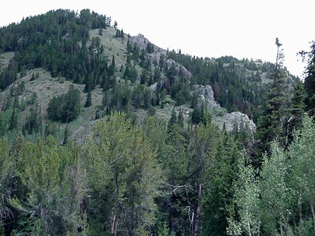
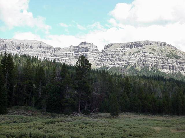
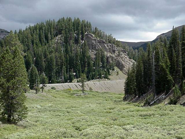
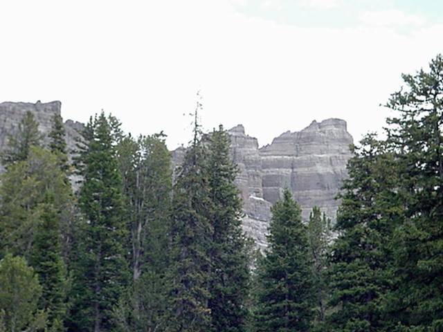
Left West Yellowstone and as I entered the park decided to take my time and enjoy.Camped at Madison campground ,closest I could get to Old Faithful, rode a great distants of 14 miles in about 4 hours.On the 19th rode to Grant village stopping to see Old faithful,42 miles. The ride from Madison to Old Faithful is 16 miles and has one fairly long hill of moderate steepness about a 1/2 mile from Madison. Somewhere around 8 miles is a turn off to a bike trail,it is 4 mile of flat fine shell and was not too bad for riding. Gets you away from the TRAFFIC and gives you peace and quiet,also saw 2 buffalo herds. When you come to the clover leaf at Old Faithful go straight and and about a mile up the road you can turn left into the complex,remember where this is so you can get out the same way. The next 13 mile are up, about 1 mile from the road gate for Craig Pass there is a very steep 3/4 mile climb and then it just get low end steep.Craig Pass is very deceptive as you climb and go through what appears o be the pass there are 2 of these.The pass and Continental Divide are 6 1/2 mile from the start of the very steep climb.Another 6 1/2 miles of up and down much like the first brings you to the 2nd crossing of the Continental divide of the day and an easy ride to Grant Village which has all services. there is Lodging here and at Old Faithful but reservations far in advance are required, but you can check for cancellations,GOOD LUCK. Leaving Grant Village is a short hill that takes you over the Continental Divide once again. At 8 1/2 miles is Lewis Lake campground.At 13 miles you begin a 2 to 3 mile climb but with the many great views of Lewis Canyon the climb can be done in short sections, once at the top it 6 miles down to the exit of the park.Flagg Ranch is another 2 miles or so.Has all services.
Aug 21
DAY 24
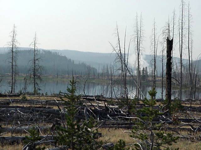
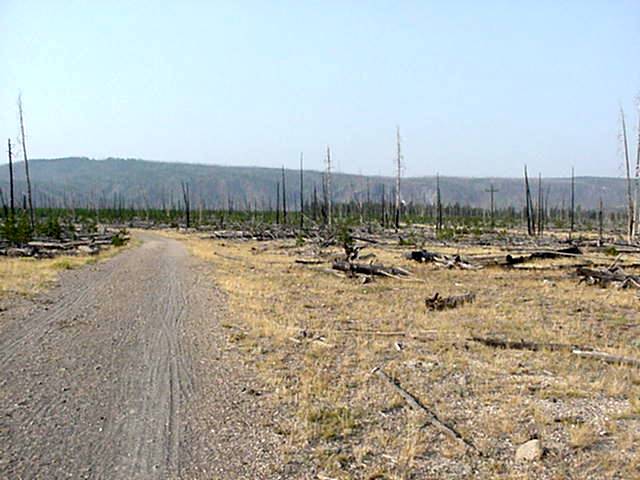
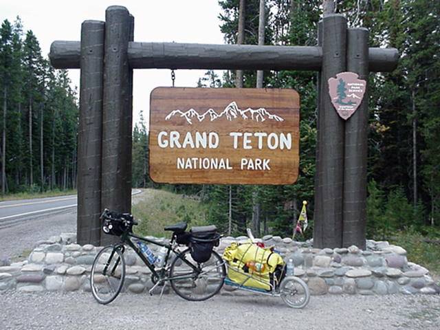
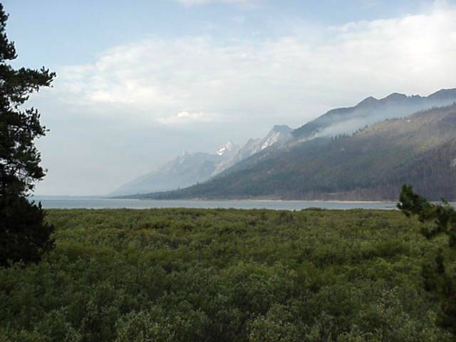
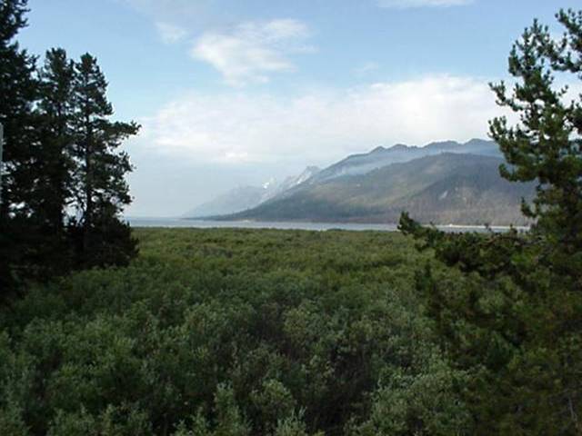
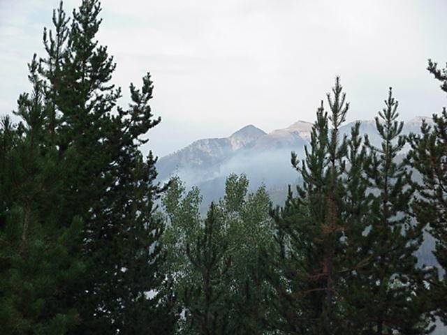
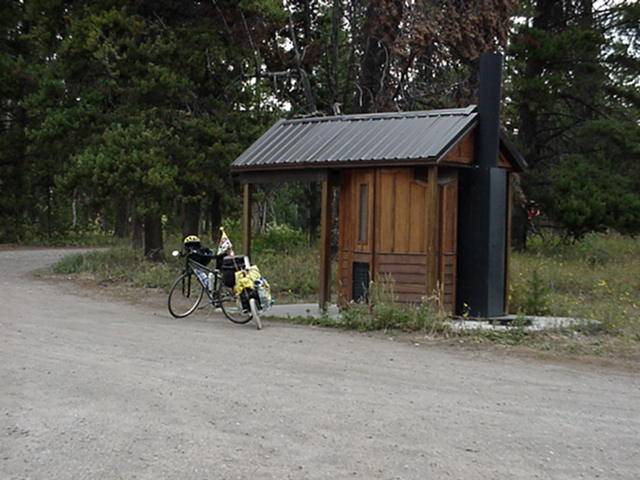
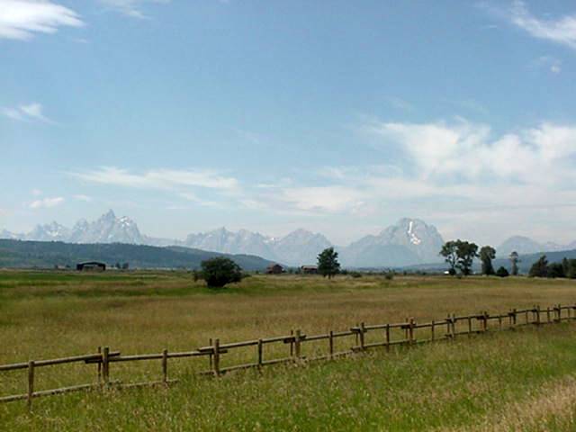
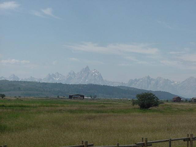
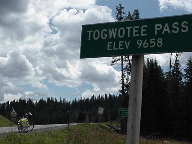
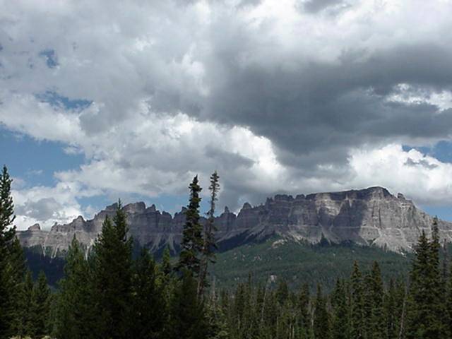
Last night while The Hitdog was all snug in a bed there was a ground shaking event. EARTHQUAKE!!! About 2 in the morning I was awaken by a bang and shutter of the walls, lasted about 2 seconds, woke me from a sound sleep. Today is another short day cause I made a mistake on distants to Dubois,thought it was around 55 and turns out to be 83 miles with the climb up Togwotee Pass (translation = BIG F*&#@^G HILL in the middle of nowhere) starting around mile 44, so in keeping with my plan to not over do it and enjoy this trip and it is 1:30 when the Hatchet Motel appears at the beginning of the, I am told 15 mile, climb.The dog goes to ground. 2 miles From the climb. Once out of the park take 287 south 26 east. There is a moderate climb out of Flagg Ranch and then a 3 mile down hill.At 8 miles there is a campground.The road through the Tetons is rolling hills mostly at 16 miles is Colter Bay has services. At 30 mile camping and store,at 32 motel,store, and cafe.Smoke and an overcast sky made for poor pictures of the Tetons.They are very impressive and had it been clear magnificent I'm sure,what a sight to see,too bad for you but was okay for me.
Aug 22
DAY 25
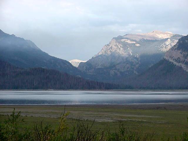
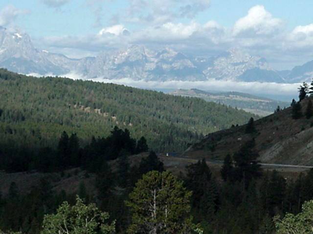
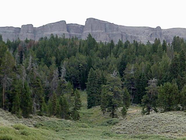
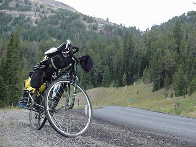
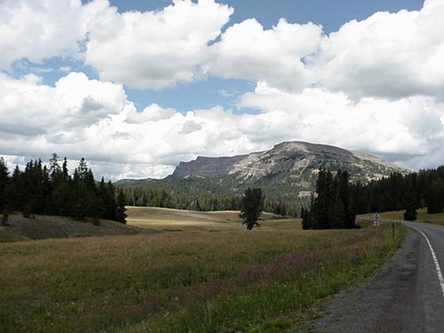
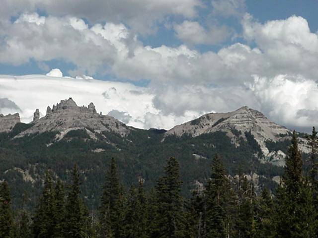
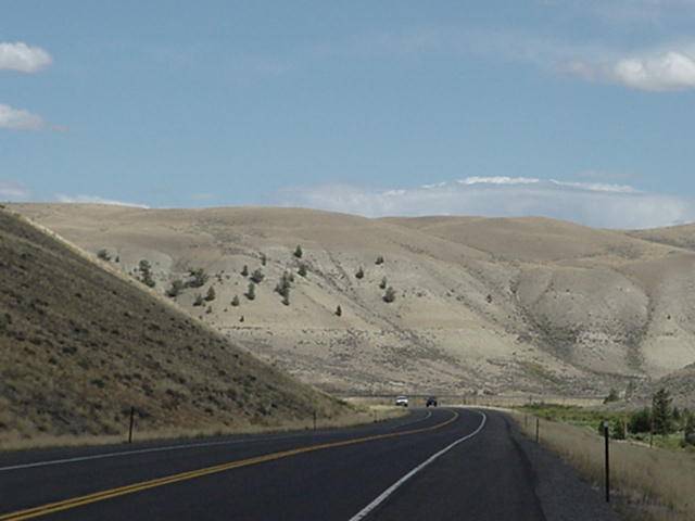
Leaving from the Hatchet Motel the climb up Togwotee starts about a 1/4 mile up the road. At the 4 1/2 mile mark sign on the down side says 6 % grade next 4 miles, funny it only seemed like 5 1/2 to me. From the sign you get a small down hill (campground here) and then you start to climb and it is every bit of 6% for a mile,and then settles down a bit to what seems to be a high end moderate climb. At around 9 miles from the Hatchet Motel is The Togwotee Mountain Lodge,has all services. Had I known this I would have came up here yesterday. Having be told at the bottem that it was 15 miles to the pass,I ask the guy working at the store and was told it was another 9 miles. But the good news was that it is flat to rolling for around 7 miles,this info was correct. True to his word at 16 miles I started up the final 2 miles. I was also told that the Indian pronuciation for Togwotee is( Tog-what-tay) and my interpertation was wrong and it actually means, Dividing of the waters. The pass is also my 5th crossing of the Continental Divide.There is a camp ground just as you start down to Dubois, and down it is all the way for 30 miles with the exception of 3 or 4 easy short hills,the longest being 3/4 mile long.There are 2 camp grounds between miles 25 and 26. The climb up the pass did not seem that bad over all but still took me 6 hours at an average speed of 5 mph. Stopped many times to take photos and a hour and half lunch break at the half way point.Todays ride was very nice the scenery was great. Looking back for most of the first 6 miles the Tetons still loomed, and where pretty clear. Dubois has all services and seems to be a booming tourist town.
Aug 23
DAY 26
The program I am using to display photos is giving me problems when I get up to 100 photos on one page, so had to make a second WYOMING PAGE . After viewing photos come back up here to continue across Wyoming by going
HERE